China deploys satellites for Xizang 6.8-magnitude quake rescue efforts


BEIJING -- China deployed several remote-sensing satellites to capture images of the quake-hit areas in Southwest China's Xizang autonomous region after a 6.8-magnitude earthquake struck the region's Dingri county on Tuesday morning.
Eight satellites, including the Gaofen series satellites and a land ecosystem carbon monitoring satellite, were mobilized to observe the quake-hit areas, according to the China Center for Resources Satellite Data and Application.
By Tuesday afternoon, the satellites had taken images eight times. The center said it will arrange more satellites with higher resolution to take images to provide more accurate information on the post-earthquake situation.
The Land Satellite Remote Sensing Application Center under the Ministry of Natural Resources also mobilized at least three satellites to capture images of the quake-hit areas.
A total of 126 people have been confirmed dead and 188 others injured as of 7 pm Tuesday.


- 2025 SCO Forum on People-to-People Exchange held in Beijing
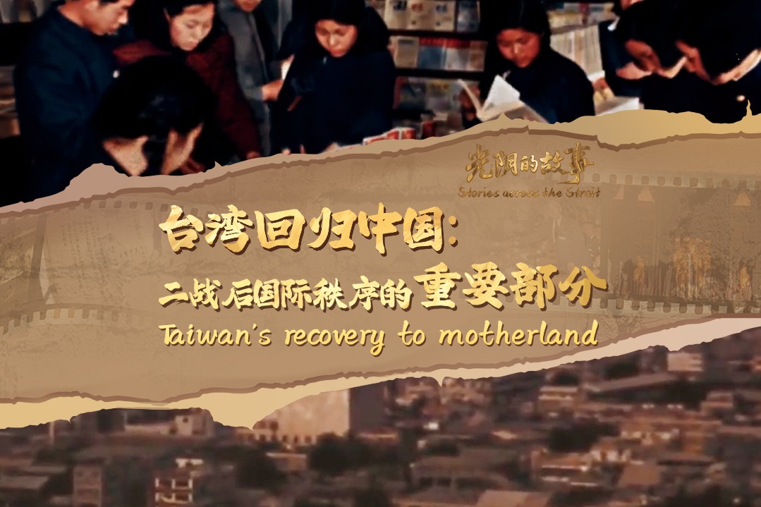
- Exhibition commemorating 80th anniversary of victory over Japanese aggression, fascism opens in Macao
- Video series commemorates Soong Ching Ling's peace diplomacy legacy
- Over 40 expatriates make dumplings at a community event in Tianjin
- Shanghai Disney Resort adjusts ticket structure, unveils autumn lineup
- Cutting-edge fungal technology takes center stage at Jilin expo