Chinese engineers make sci-fi drone mapping reality
By PENG CHAO in Chengdu |
chinadaily.com.cn |
Updated: 2025-03-13 16:41


Share


Share - WeChat


A scene from the science fiction film Prometheus, where explorers deploy a mini-drone that laser-scans caves to generate 3D models instantly, has turned into reality, thanks to the efforts of Chinese engineers.
On Tuesday, the Spatiotemporal AI Perception Technology Innovation Center at the Tianfu Jiangxi Laboratory in Chengdu, Sichuan province, announced that it has launched Dimension 1, the world's first ultra-compact portable mapping drone. It is designed to perform asset digitization scanning tasks in indoor environments.


- 2025 SCO Forum on People-to-People Exchange held in Beijing
- Exhibition commemorating 80th anniversary of victory over Japanese aggression, fascism opens in Macao
- Video series commemorates Soong Ching Ling's peace diplomacy legacy
- Over 40 expatriates make dumplings at a community event in Tianjin
- Shanghai Disney Resort adjusts ticket structure, unveils autumn lineup
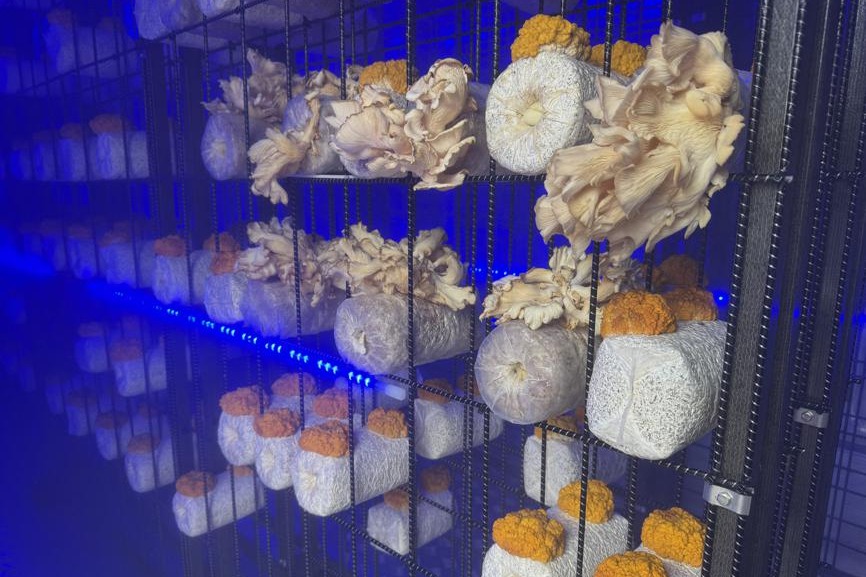
- Cutting-edge fungal technology takes center stage at Jilin expo